The Occupation of Britain in Maps
A graphic representation of influences by language here.
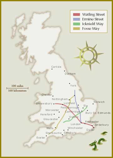
1) The Roman Occupation 43 - 410 AD
Roman Roads in Britain:
Interactive Map Here
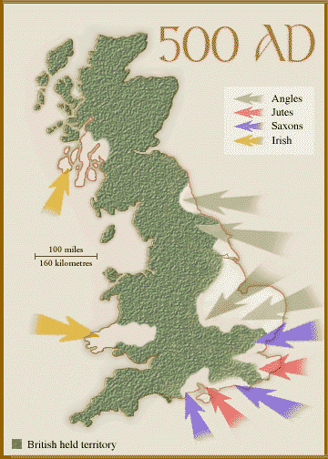
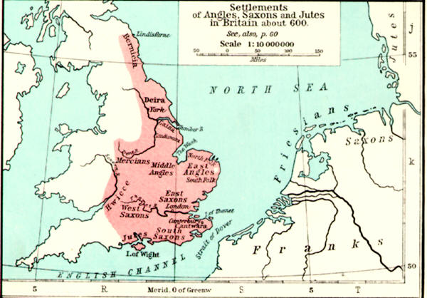
2a) Germanic Anglo-Saxon Occupation and Introduction of Christianity 400-600.
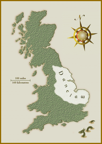
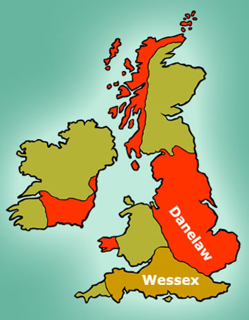
2b) Viking Occupation: The Danelaw. You can also trace the boundaries of Danelaw via place names.
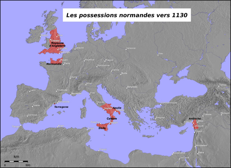
3) Norman (North French) Occupation, following 1066 Norman Invasion-Conquest by William the Conqueror.