 Acquisition of land for highway right of way requires a cadastral survey to establish existing property lines and to establish and mark (monument) new boundaries. Cadastral land surveyors identify and establish monuments that document the legal boundaries between public and private lands. A topographic survey is made to establish the configuration of the ground and the location of natural and man-made objects. A located centerline survey is generally made after the topographic survey is completed and alternative alignments have been evaluated. The final alignment is determined and then a survey of the centerline of the planned highway is conducted. Many different types of maps are produced in the course of designing a highway. The most common include:
Keep in mind that each jurisdiction probably has its own map requirements and map terminology. Examples of planimetric and cadastral survey maps are shown below. 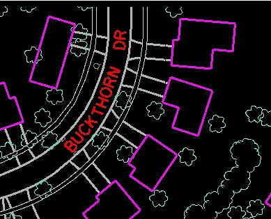 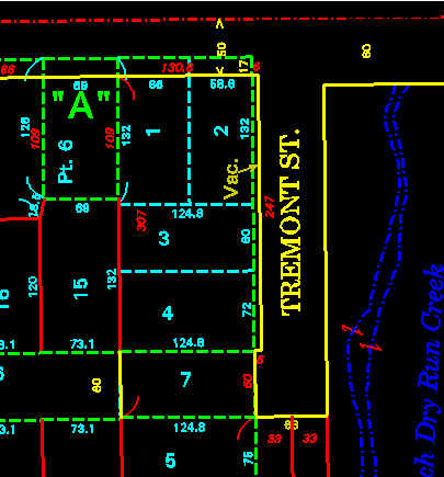 Planimetric Map Cadastral Survey
|