Data Collection
In August 2010, the Computational Hydrology Group performed a LiDAR scan of portions of Crystal Cave (in Sequoia National Park), using a Terrestrial Laser Scanner (TLS). The result is this 3-D point cloud of terrain data showing various cave features.
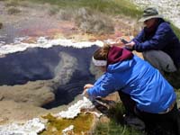 |
Geochemical sampling of hot springs near Borax Lake in the Alvord Basin of southeast Oregon. |
 |
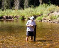
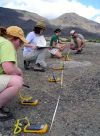
Students measure pH and temperature along Paradise Creek in Moscow, ID, as part of a hydrogeology class field exercise. |
 |
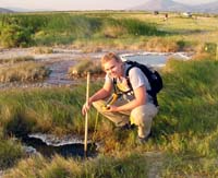
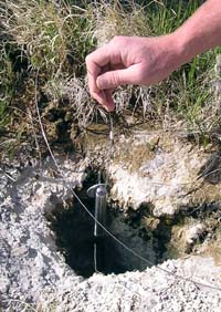
Installation of peisometer and temperature probes to measure hysteresis in Lolo Creek, northern Idaho. |
 |
Measuring of hot springs temperatures in the Alvord Basin, southeast Oregon. |
 |
Ground temperature mapping at Mickey Hot Springs, southeast Oregon. |
 |
Deployment of a HOBO datalogger in a high-temperature geothermal vent near Borax Lake, southeast Oregon. |
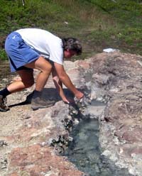 |
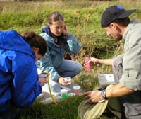
Geomicrobiological sampling at Vulcan Hot Springs in central Idaho. |