


Installing
ArcGIS
Installing
ERDAS
| |
Geospatial
Learning Center
Image
Gallery
Visit the College of
Natural Resources Remote
Sensing Research lab for research applications.
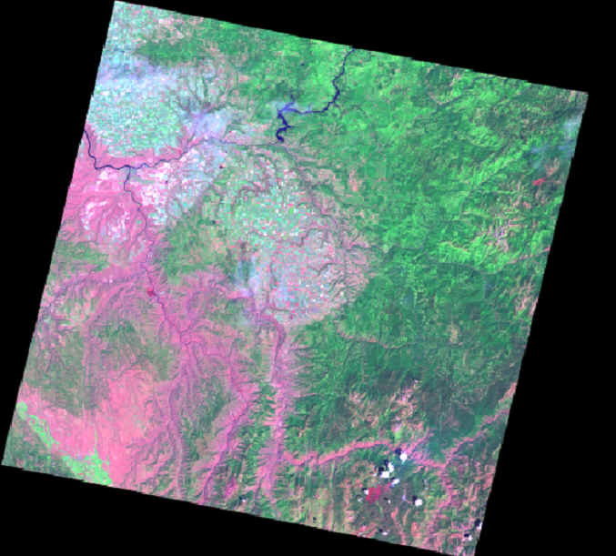 |
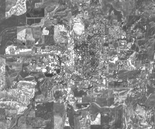
Landsat
7 scene path 42 row 28 from July 27, 2000 encompassing the area from
Moscow in the northwest to Riggins and the Salmon River in the south and
south east. Landsat 7 scenes cover an area of 180 x 180 km with a
spatial resolution of 30 m in 7 multispectral bands. This image is
displayed with the 6, 4, 2 band combination.
The INSIDE Idaho web server provides
a list of Landsat 7 scenes available in Idaho. http://inside.uidaho.edu/geodata/Landsat7ETM/Landsat7
ETMFindData.htm
Visit the USGS EarthExplorer for a
complete list of available data: http://edcsns17.cr.usgs.gov/EarthExplorer/ |
 |
 |
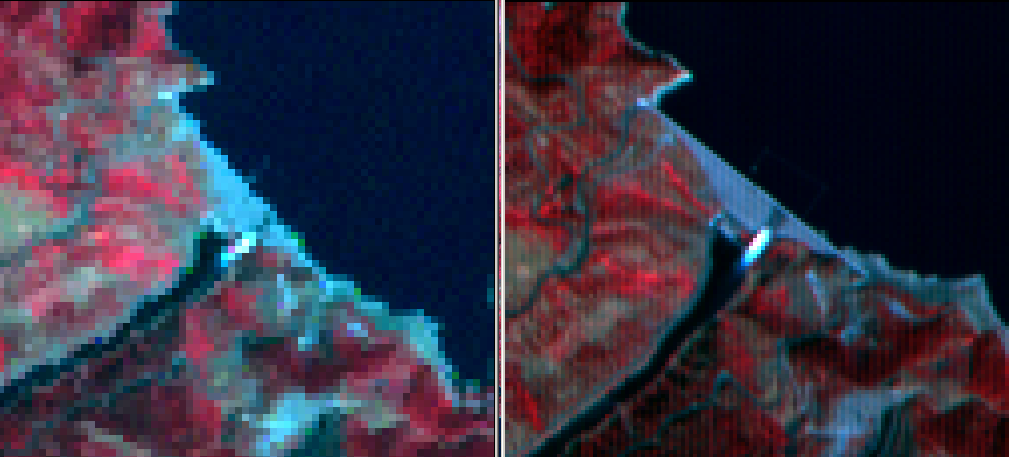
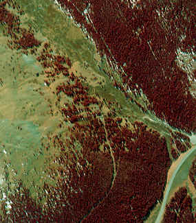
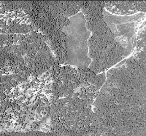
Clip of
Landsat 7 scenes path 42 row 28 from July 27, 2000 (left) and August 28,
2000 (right) displayed with a false color composite band combination.
The images show the Craig
Mountain Wildlife Management Area (65,000 ha) south of Lewiston, Idaho.
The southern portion of the area burned in the Maloney Creek Fire in mid
august 2000.
|
 |
Clip of a
panchromatic SPOT 4 image of the Moscow area. The spatial resolution is 10
m. SPOT scenes cover an area of 60 x 60 km. SPOT also delivers a
multispectral image with 3 bands in the visible and near infrared ranges
at 20 m resolution.
The SPOT headquarters is located i
Tolouse, France. http://www.spotimage.fr/
SPOT 5 is scheduled to be launched
in year 2002. This satellite will deliver panchromatic images at 2.5 m and
5 m resolution as well as multispectral images at 10 m resolution. http://www.spotimage.fr/home/system/future
/spot5/welcome.htm |
 |
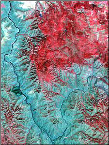
IKONOS 4
meter resolution multispectral satellite image of a partly forested area
in the Salmon-Challis National Forest. The image is displayed as a false
color composite - forested areas are displayed in red.
IKONOS imagery can be purchased from
Spaceimaging at resolutions
ranging from 4 - 25 m in four multispectral bands and 1 m resolution in
the panchromatic band. The IKONOS satellite was launched on September 24,
1999.
|
 |
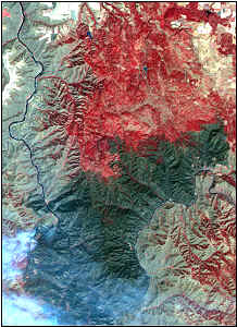
Hyperspectral
image of the University of Idaho campus and the western part of Moscow and
surroundings. This image was acquired using aircraft flown by Earth
Search Sciences Inc. on August 27, 1999. The resolution is 4 m
in 128 multispectral bands in the 380 - 2500 nm range.
The Airborne Visible InfraRed
Imaging Spectrometer (AVIRIS)
is another hyperspectral sensor. AVIRIS collects data in 224 contigous
spectral channels with wavelengths from 380 - 2500 nanometer.
The use of AVIRIS hyperspectral imagery and
ground
reflectance measurements for mapping species
and biophysical variables in forest stands is one of many research
projects at the College of Natural Resources
Remote Sensing Research Unit.
|
 |
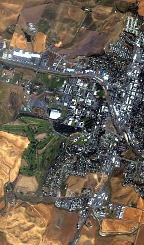
Digital
aerial ortho photo of the University of Idaho Campus area. This photo was
flown by the Potlatch Corporation in 1998 and purchased by the University
of Idaho Experimental Forest. Spatial resolution 2 m.
Digital ortho photos are commonly
used in cartography as a tool to remotely sense features on earth. Digital
ortho photos are commonly used in GIS as a backdrop for spatial data
layers. Ortho photos are registered to a geographic map projection. |
 |
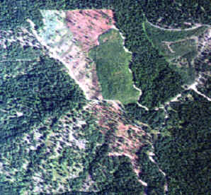 |
1 x 1 km
clip of the University of Idaho Experimental Forest East Hatter Creek
Unit.
Left: Digital ortho photo at 2 m resolution from 1998.
Right: Hyperspectral image dipsplayed in natural colors at 4
m resolution from 1999. |
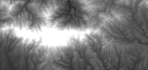 |
Digital
elevation model for Moscow Mountain at 30 m resolution. Higher elevations
are displayed in light color.
Digital elevation models for Idaho
are available on the INSIDE Idaho
web page |
|